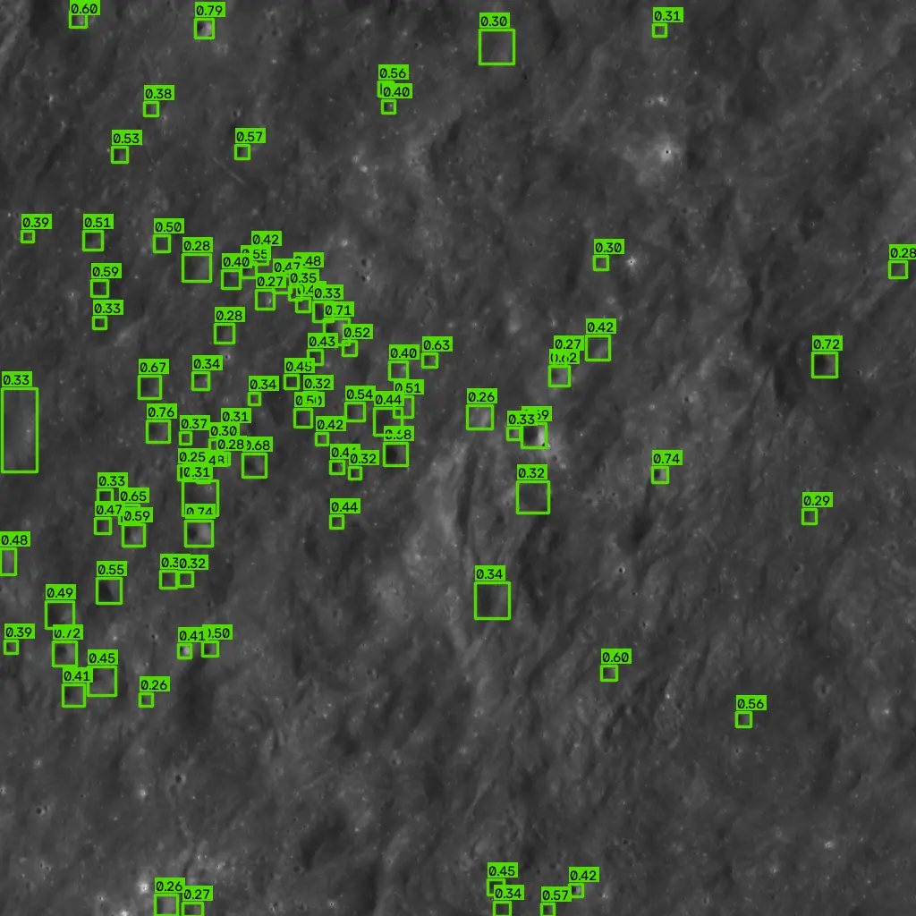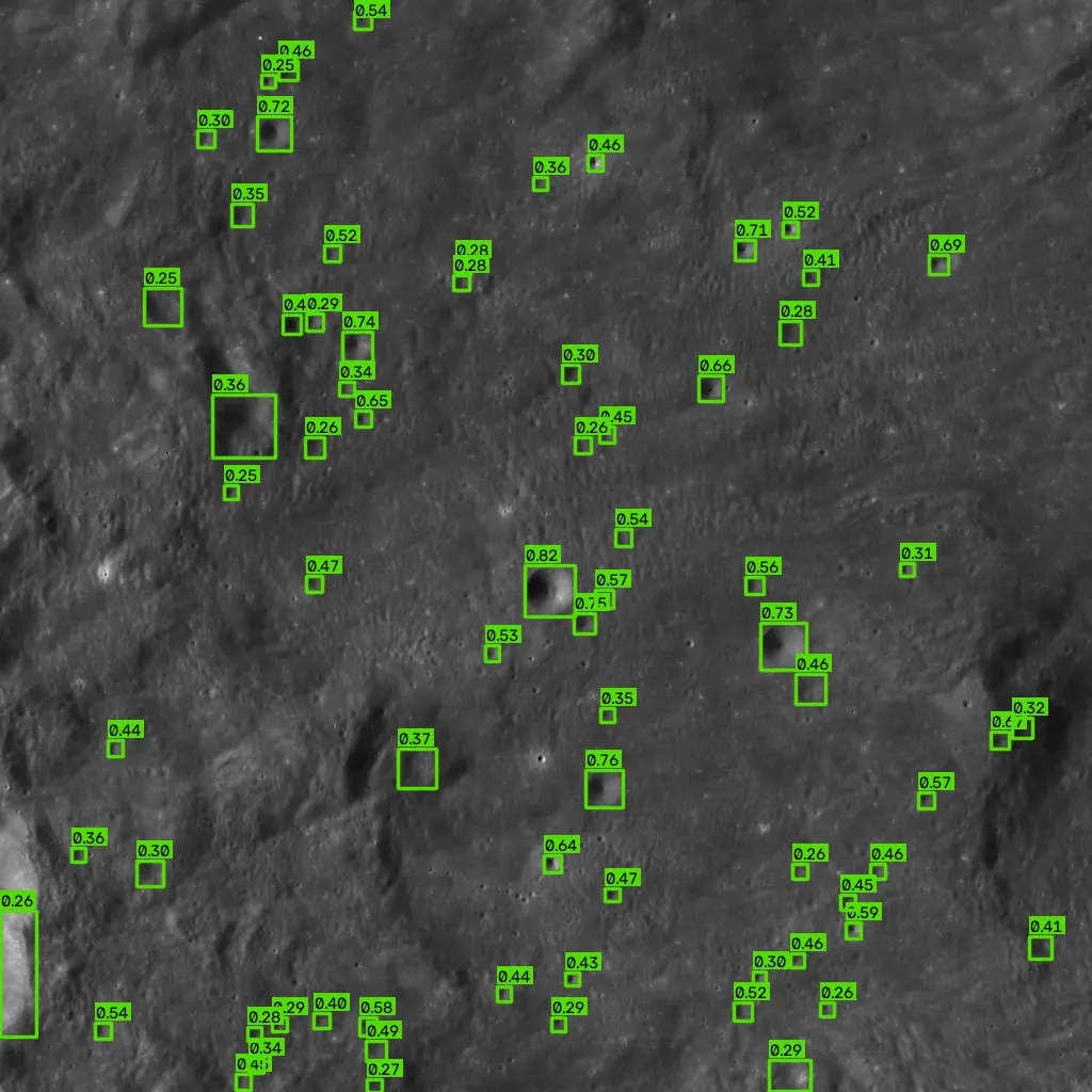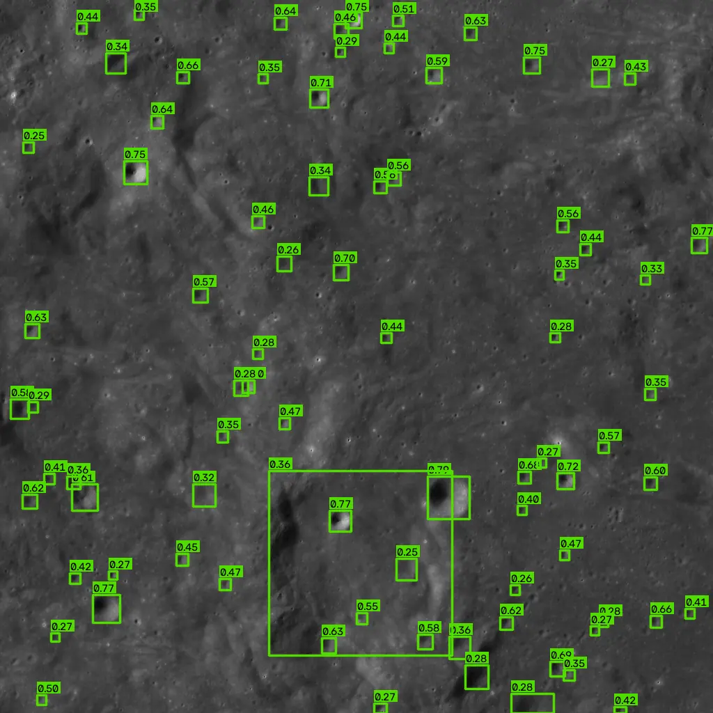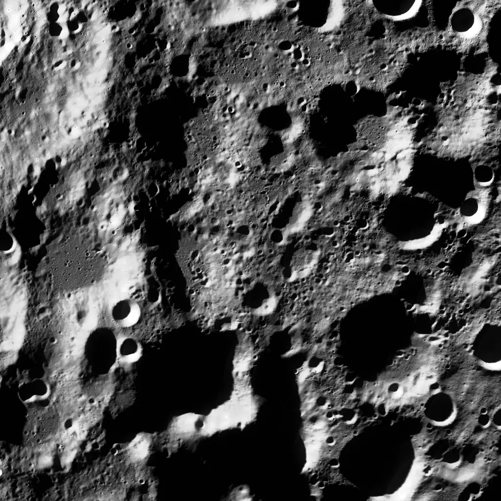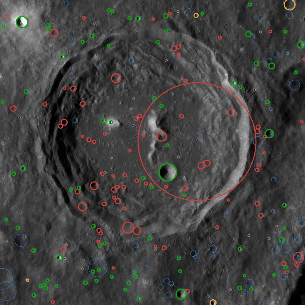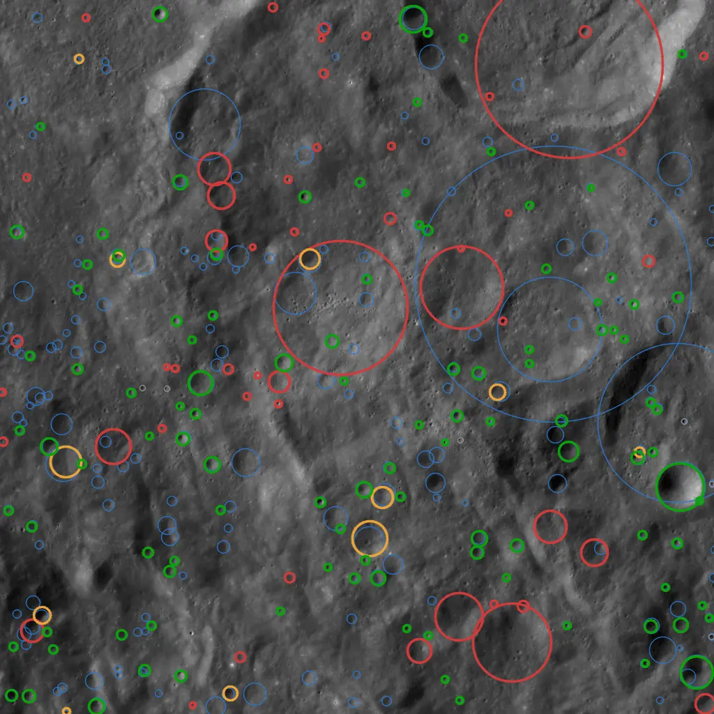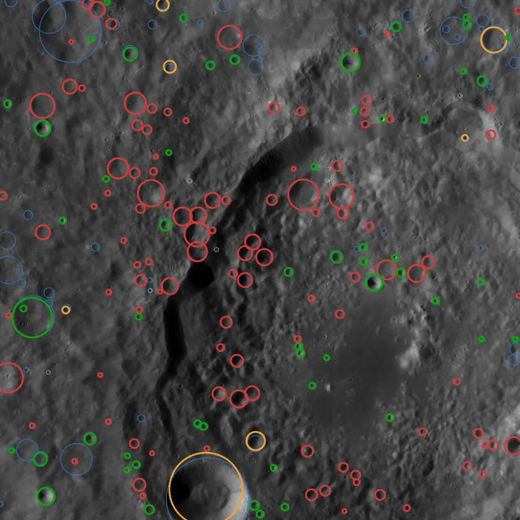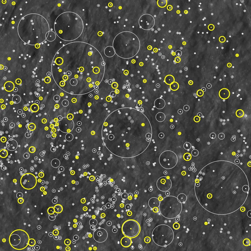
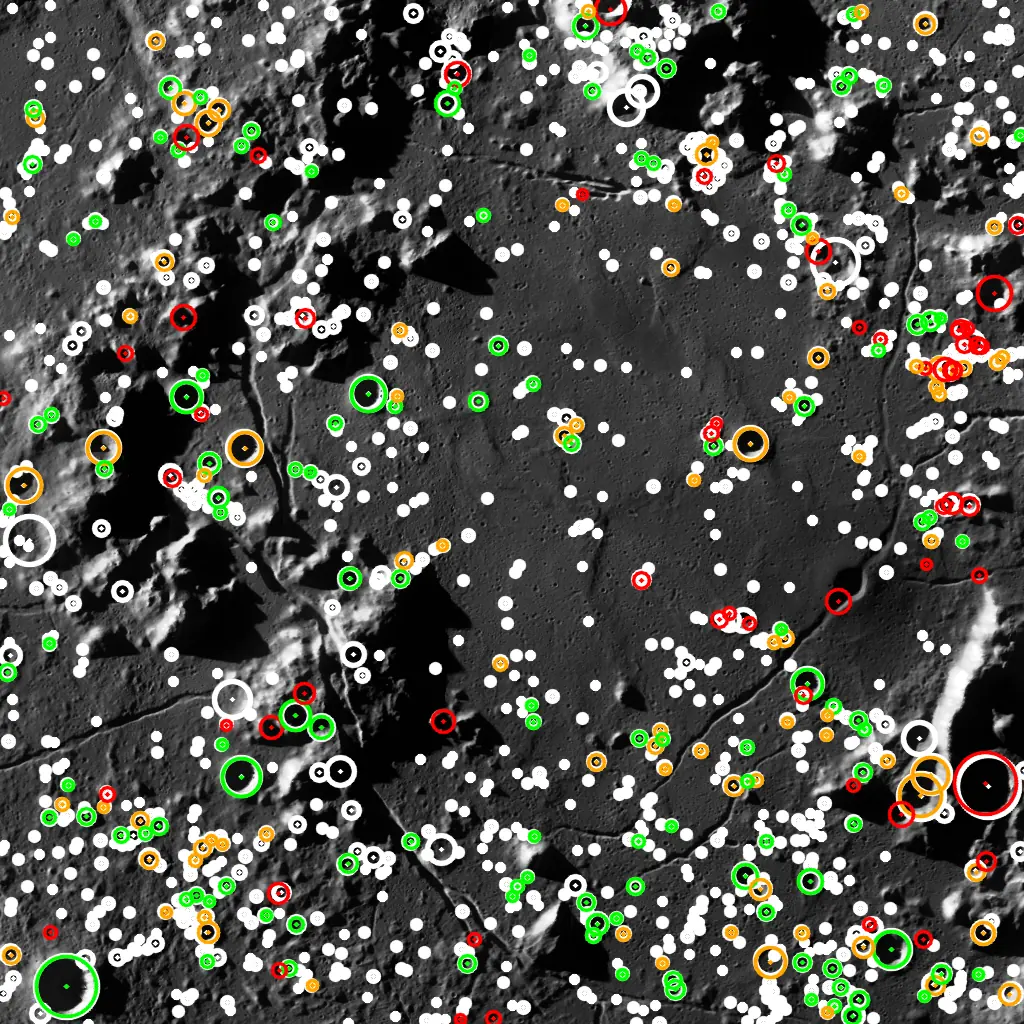
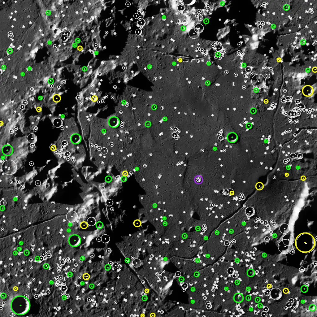
A spacecraft orbiting the Moon has no GPS. To navigate on its own it needs landmarks, and the Moon has plenty: millions of craters, catalogued, permanent and visible from orbit. In an ongoing project with TÜBİTAK UZAY, we are developing software that finds craters in an image taken from lunar orbit, works out which catalogued craters they are, and recovers the camera's position and orientation from them.
From pixels to position
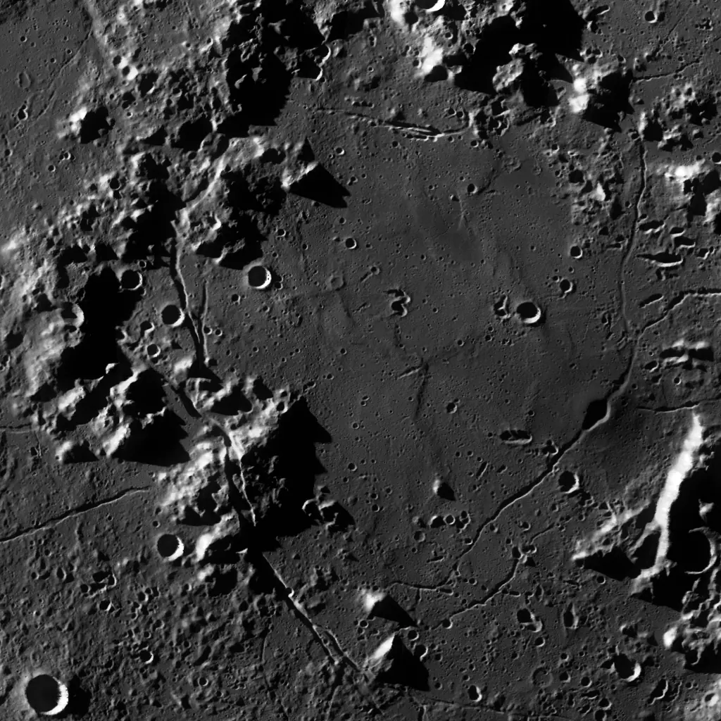
- Detect. A deep-learning detector finds craters in the image and reports each one's center and size.
- Retrieve. A learned place-recognition network compares the pattern of detected craters with an index covering the whole Moon and proposes candidate locations. With no prior information this is the hard lost-in-space case; when the position is roughly known, the search is confined to that region.
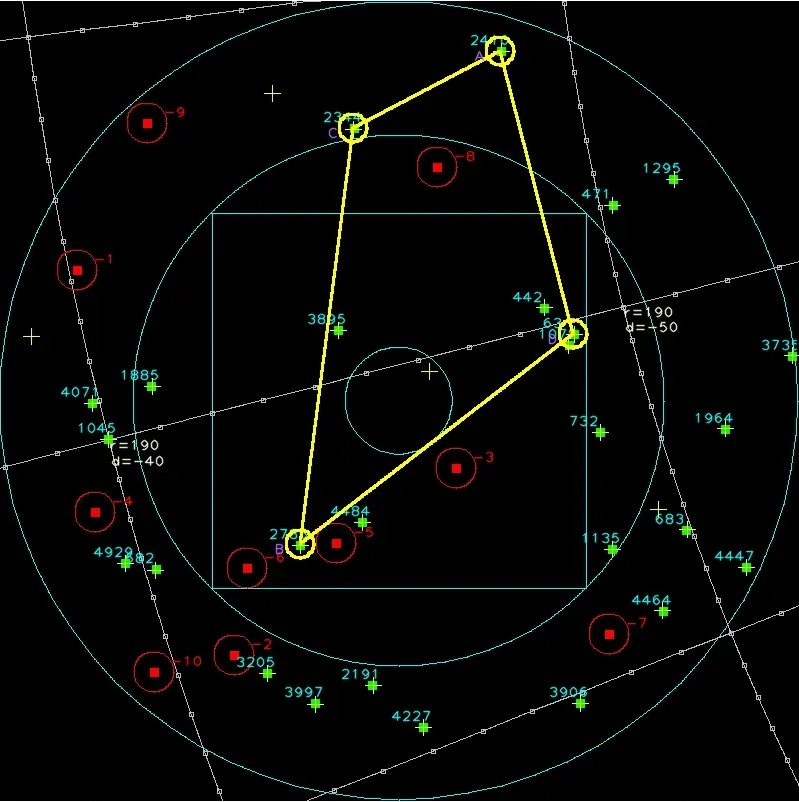
- Match. A transformer matcher pairs detected craters with catalog craters at each candidate, tolerating false detections and craters the detector missed.
- Solve. A robust perspective-n-point solver and least-squares refinement recover position and attitude. A strict acceptance test rejects doubtful solutions, because for navigation a wrong pose is worse than no pose.
Learning from the catalog
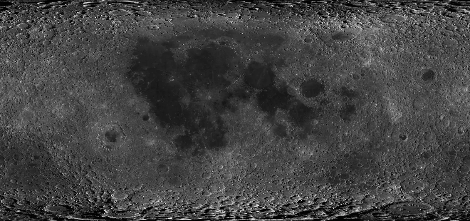
Labelled images from lunar orbit are scarce, so the networks learn largely from the crater catalog itself, together with views rendered from global lunar imagery. This lets us train and test across the entire Moon, from the dark maria to the poles.
Where it stands
- Works both with no prior information and with a coarse position estimate, where it runs faster.
- Runs in real time on a single CPU core.
- A self-contained runtime aimed at flight-like hardware.
- Ongoing work: harsher lighting near the poles, real imagery, and on-board deployment.
Imagery rendered from the LRO Wide Angle Camera global mosaic (NASA / GSFC / Arizona State University). Crater catalog: Robbins (2018).